A visit to Englishman River Falls Provincial Park
After Cathy flew back home, I had 2 days to spend on Vancouver Island before taking the ferry to Powell River. After some thought over my morning coffees on Day 34 of the trip (May 29th) I decided to move to Englishman River Falls Provincial Park for that night. I remember the park from a visit on a bicycle trip in 1967, and figured I was about due for another look.
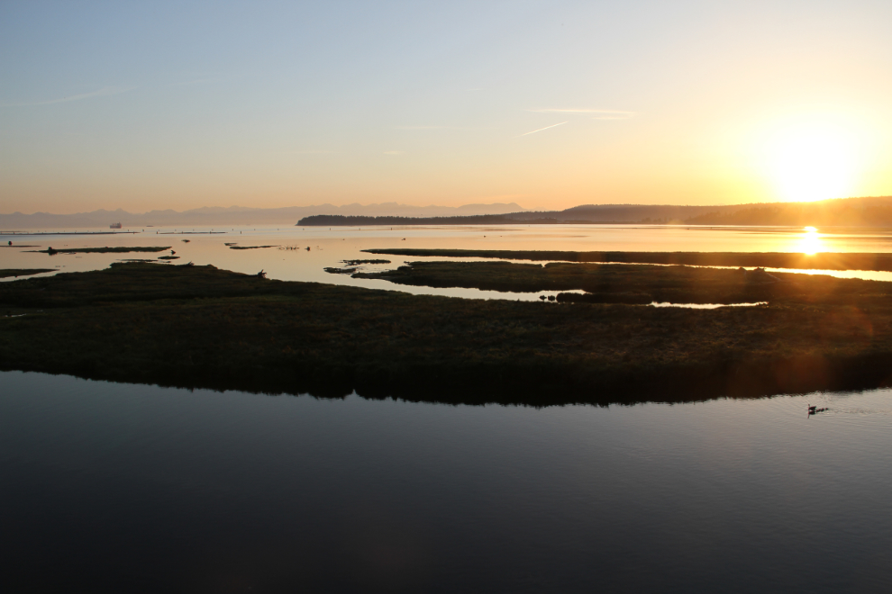
Sunrise had been glorious to watch from the Living Forest Oceanside Campground where we’d camped for 3 nights. This photo was shot at 05:40.
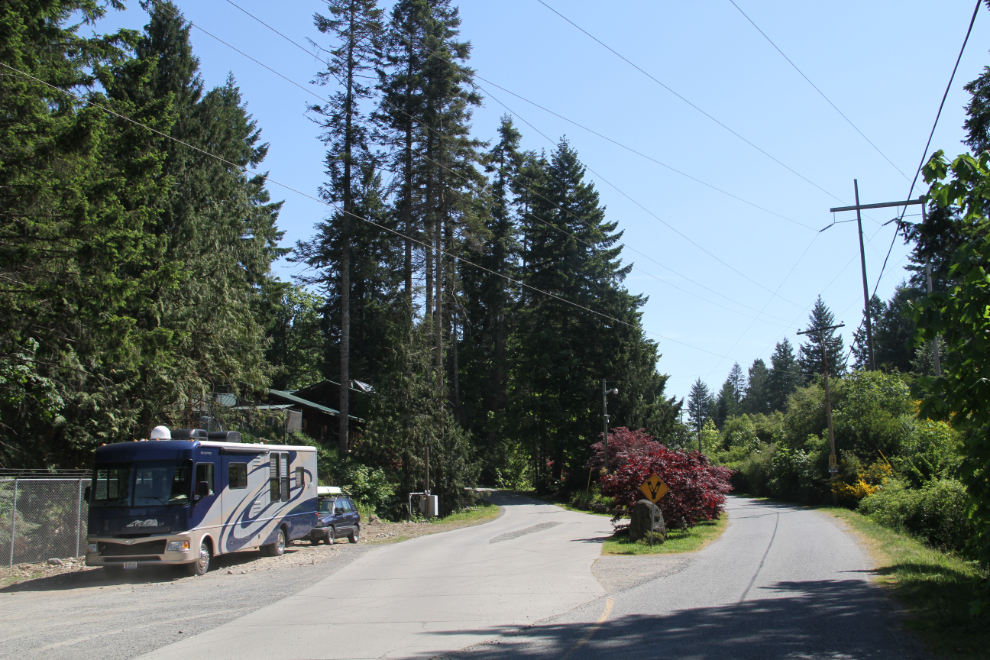
At the 11:00 check-out time, I moved the rig to the campground entrance area, disconnected the Tracker, and drove the motorhome to a gas station a couple of blocks away. I had checked out the gas station access, and it was too tight go in with the Tracker on the back. Back at the campground I waited to see f I could get together with one of my relatives again, but she got busy with a dog rescue, so I hooked the Tracker up again and headed north.
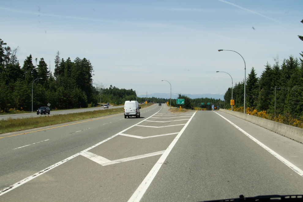
It’s only 55 km (34 mi) between the two campgrounds, and much of that is on the 4-lane Inland Island Highway. Just before 12:30, I turned off the 4-lane.
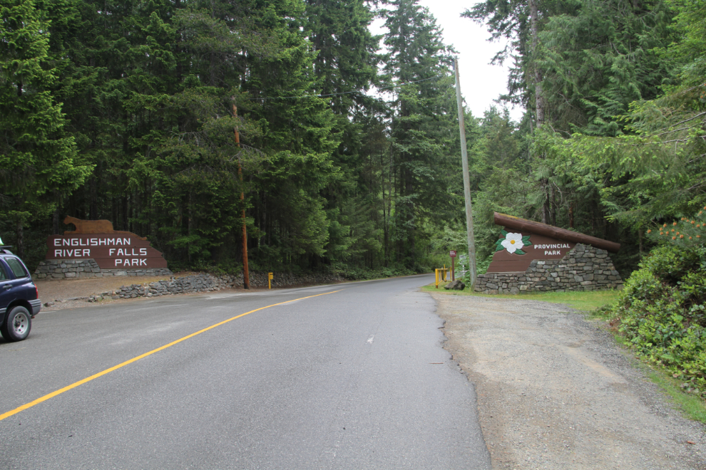
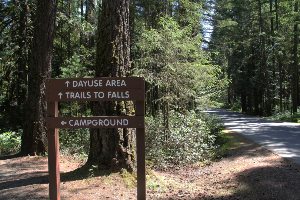
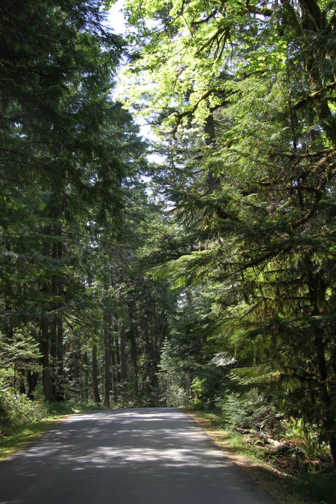
A few minutes later, I was at the entrance to Englishman River Falls Provincial Park. This photo was actually shot the next morning as I left – it was still sunny when I arrived.
There are no bad campsites at Englishman River, which has 103 sites, 55 of which can be reserved ahead. I set up at #37, unhooked the Tracker, put the dogs in the car and then drove back to pay the $23 fee at the self-registation area at the entrance.
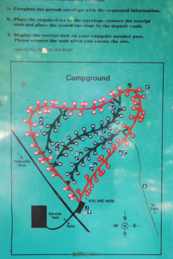
The trail from the campground to the lower falls was signed “Closed” due to a fallen tree and downed fences, so we continued on about a kilometer to the day-use area trails.
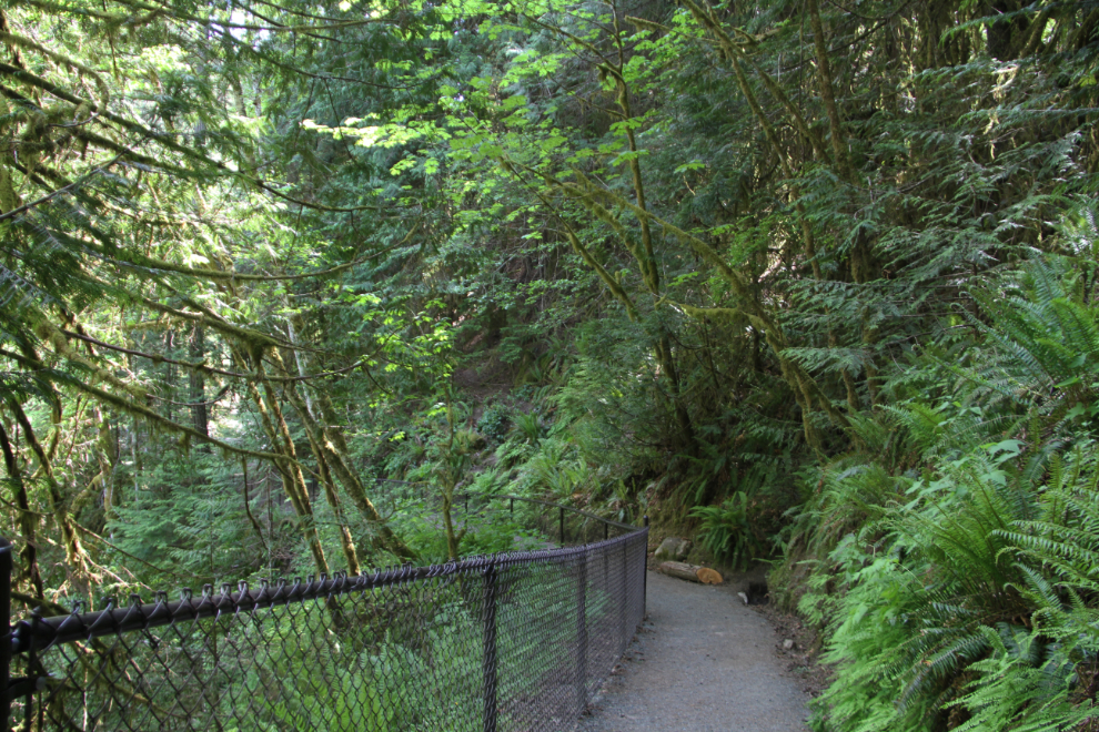
I decided to do a full circuit of the park, which has 3 km of trails, and started down the trail to the lower falls. The forest is, of course by now, beautiful and powerful. BC Parks describes it as a “lush second-growth and old-growth forest of Douglas fir, cedar, hemlock, arbutus and maple.” When the slopes get steep as you approach the canyon, the trail is fenced.
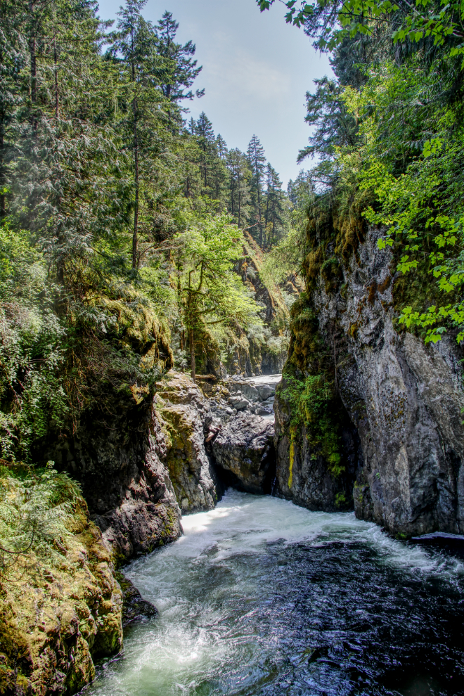
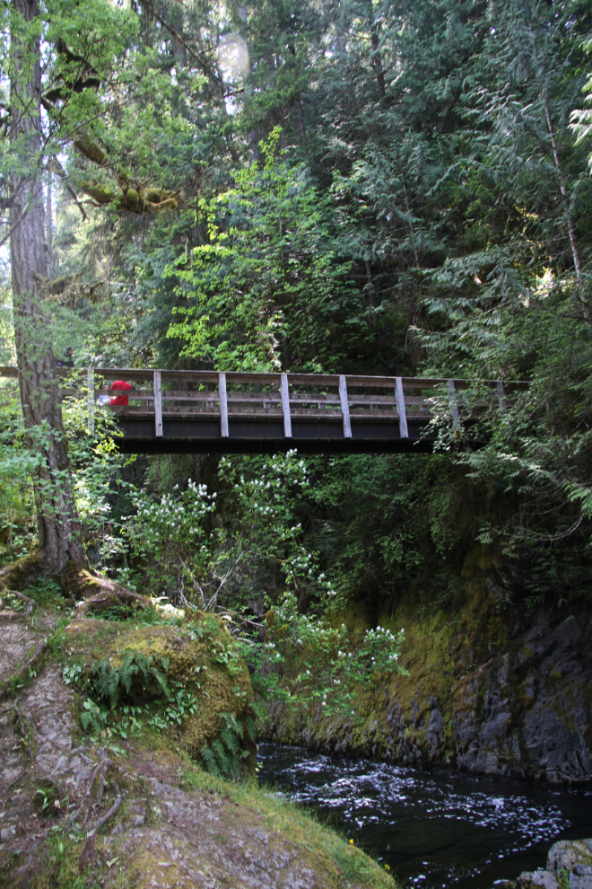
The lower falls of the Englishman River are small, but the canyon is impressive. This photo was shot from the footbridge that crosses the river at the bottom of the canyon.
Below the bridge, the river becomes calm again.
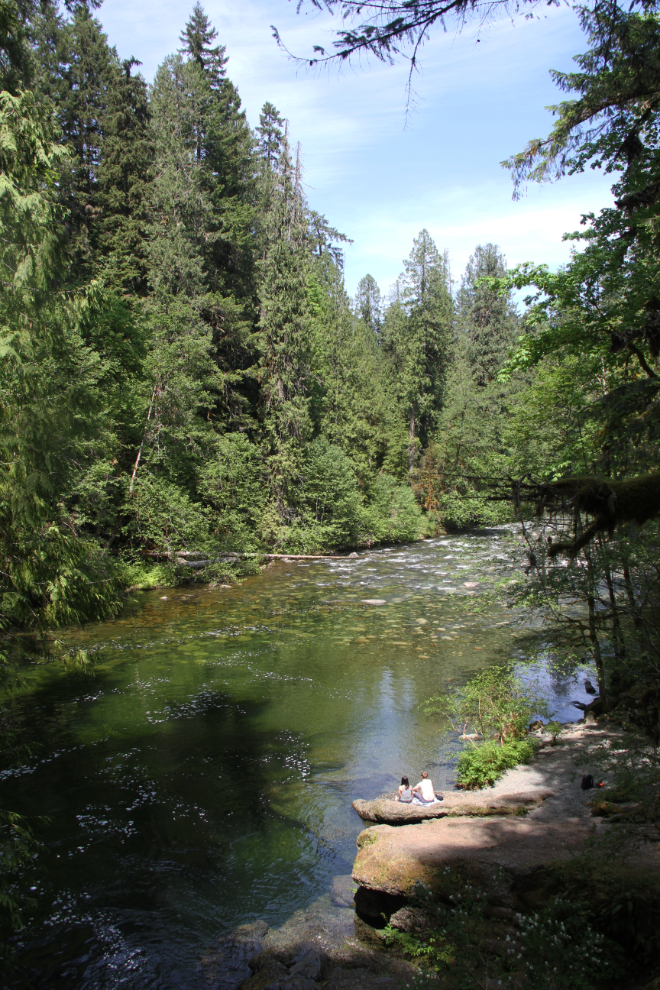
The bridge and the foot of the canyon.
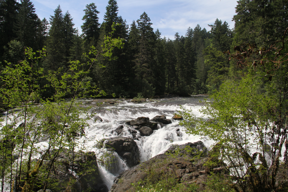
When we reached the upper falls, I was disappointed in the views that were available from the trail. Many people were, of course, going around the fence to get good views. It seems to me that cutting that screen of small trees down would keep people safer.
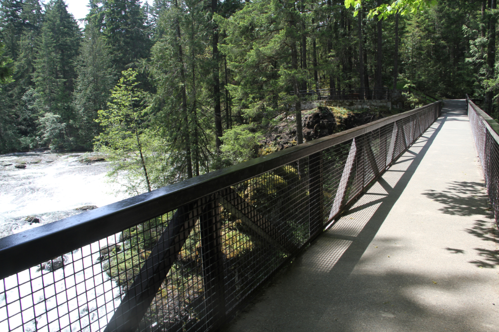
Having Bella and Tucker with me on leashes, the options for exploring the river are more limited, so we headed back to the car, across the upper bridge. It does offer a good view of the falls and the tiny slot of a canyon they fall into far below.
The drive back to the campground.
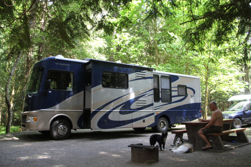
It was getting very warm – about 24°C (75°F) – but the campsite was a lovely cool spot to take a break.
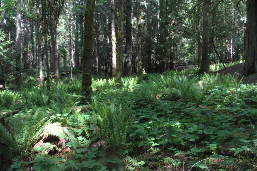
The forest in front of our campsite was also a lovely place to wander. Then I put the fur-kids in the motorhome for a nap, and I drove back to the day-use area for a more thorough look.
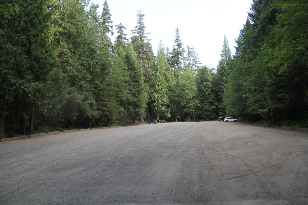
The day-use parking lot is huge, so I expect that this park gets very busy, at least for a few weeks a year.
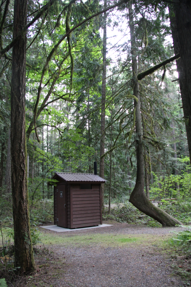
At the waterfall end of the parking lot there are both outhouses and a plumbed washroom.
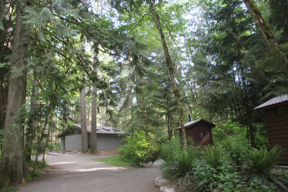
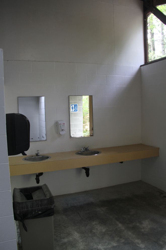
It surprised me how small the washroom was given the size of that parking lot. When there’s almost nobody here, though, it’s clean and functional.
Back at the upper bridge, and a small viewing area.
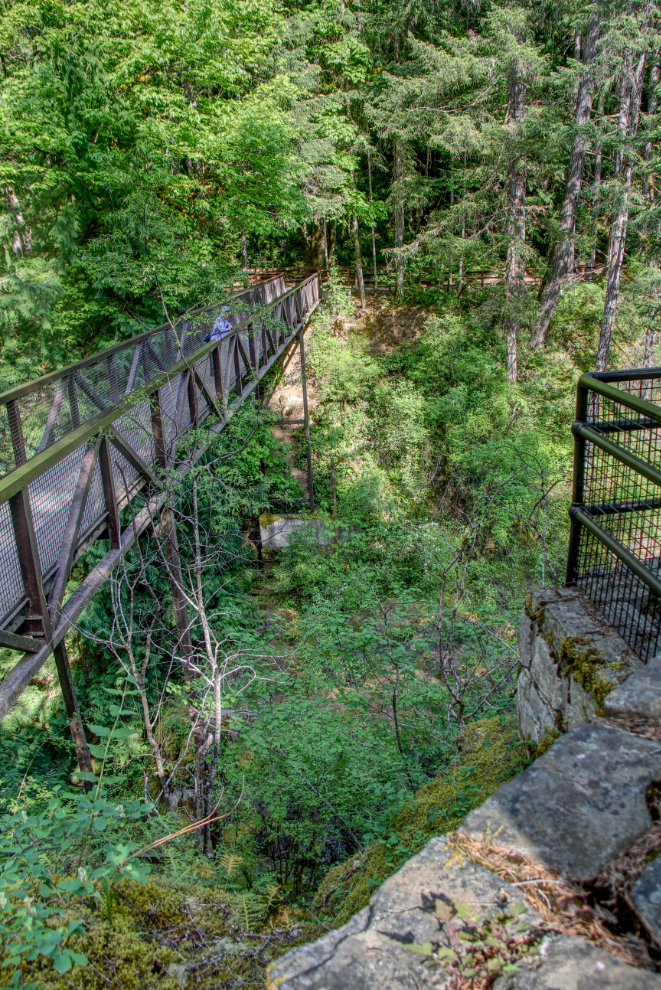
To get this photo of most of the waterfall, I created a vertical panorama from 2 shots shot from the bridge with an 18mm lens. The bottom of the canyon was so dark that the panorama-maker software wouldn’t even recognize it as an image.
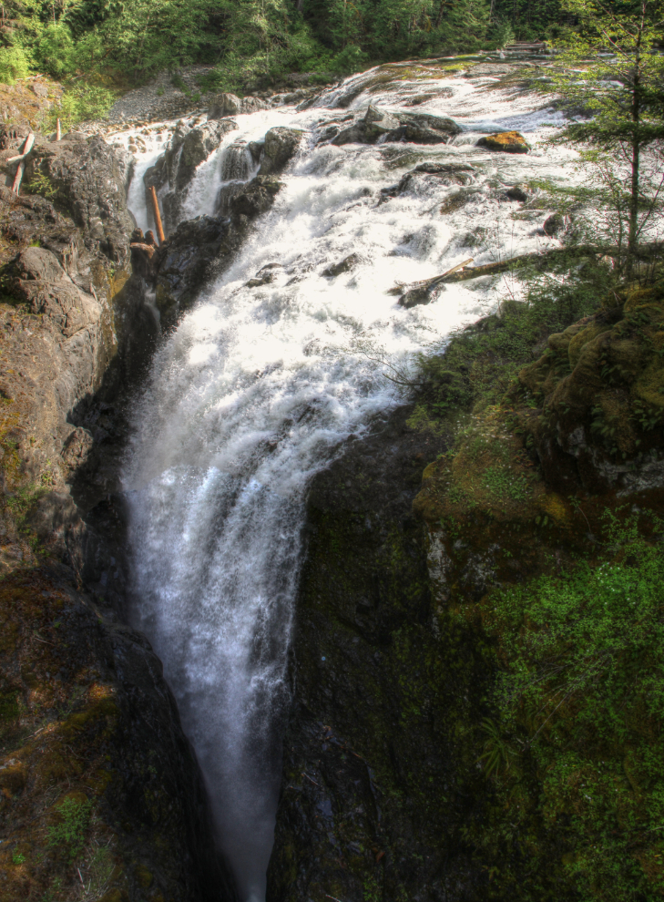
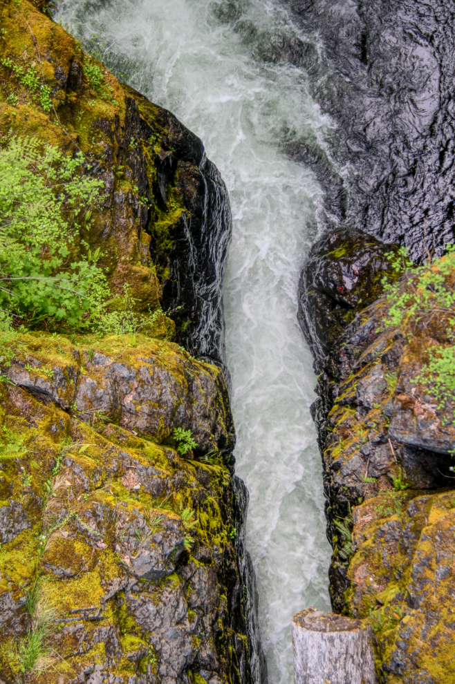
Looking straight down from the other side of the bridge. That part of the canyon is perhaps 10 feet wide.
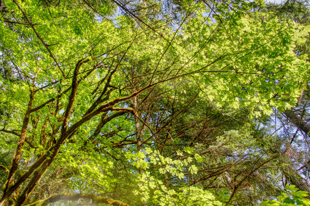
Looking up into the forest canopy. The day was about as perfect as it could be for exploring the park.
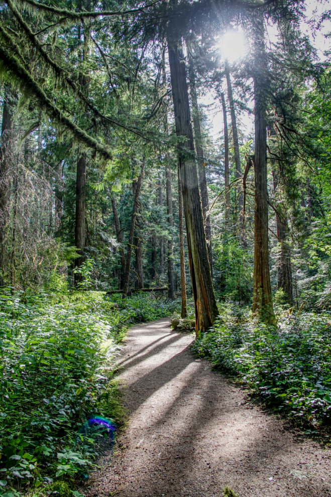
This trail follows the river upstream above the falls.
The little beach is where the trail ends. I expect that it’s much larger when the river is at lower summer levels. From what I could see in the water, it may also be more interesting with more of the heavily-eroded rock exposed.
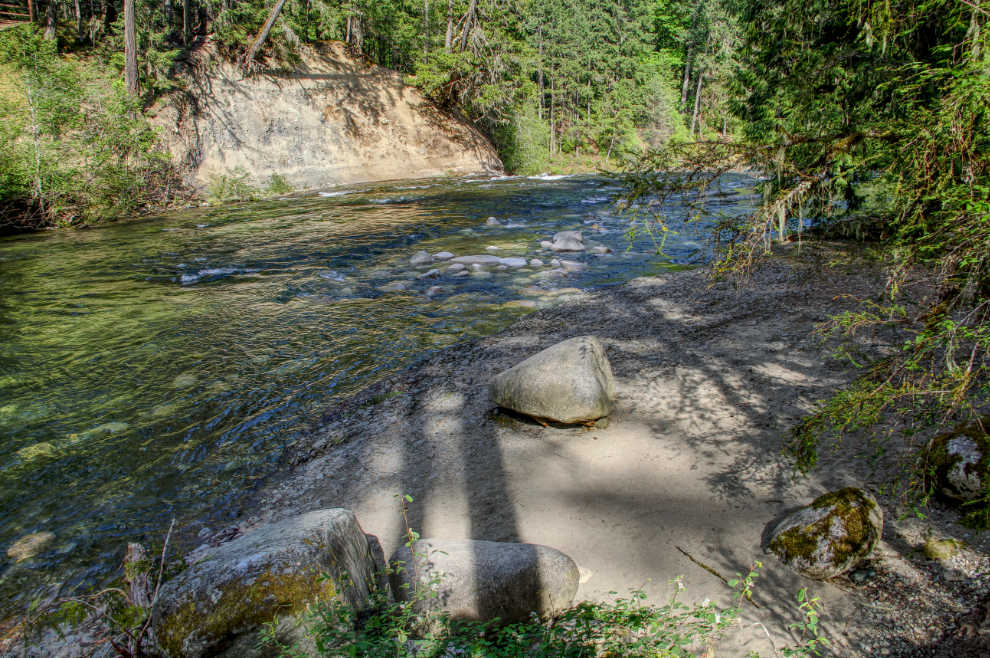
A closer look at the character of the river and rocks.
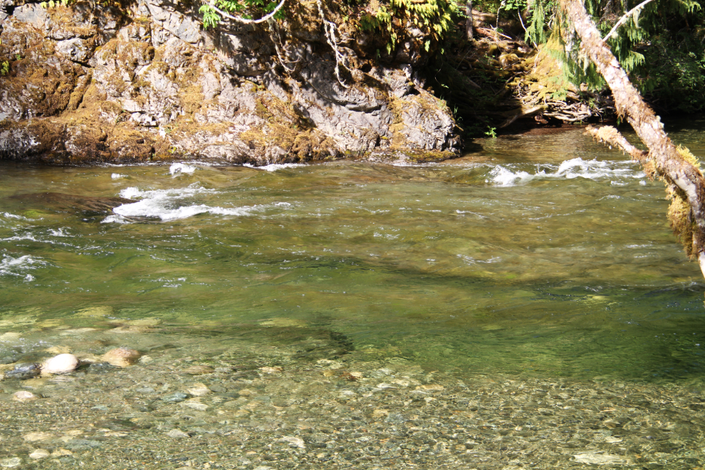
Walking back downstream, I took unofficial side trails to the river at a few spots. This is just above the waterfall. A fun place for inner-tubing except for that 60-foot drop ahead! The slot canyon at the bottom would make that drop unsurvivable.
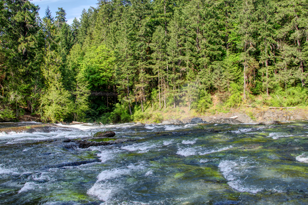
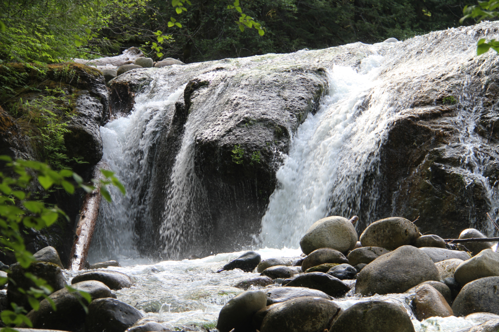
I finally found some falls views that I was happy with. The best views of them can only be seen from a drone, I think. This images shows the drama and power of the falls…
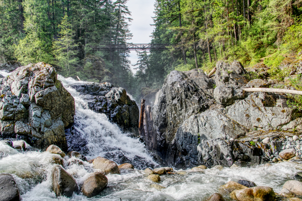
… while this one taken from the same spot shows a calmer part just upstream.
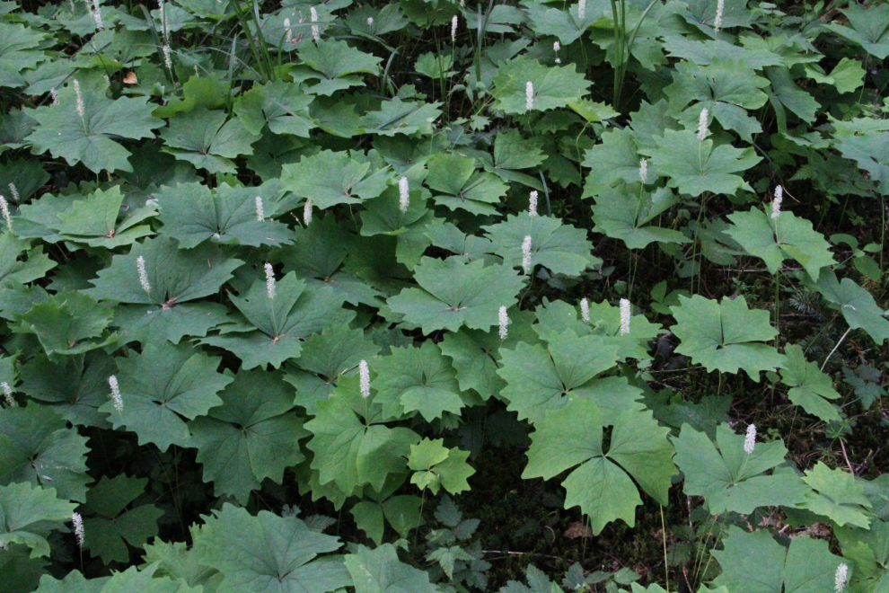
Walking back to the car, I stopped to have a close look at this lovely deep carpet of unknown flowers.
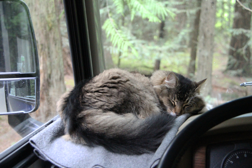
When I got back to the motorhome, the happiest cat in the world was in her usual position. Laying on her fleece, watching birds and squirrels, and having her family close by – Molly’s simple pleasures in life.
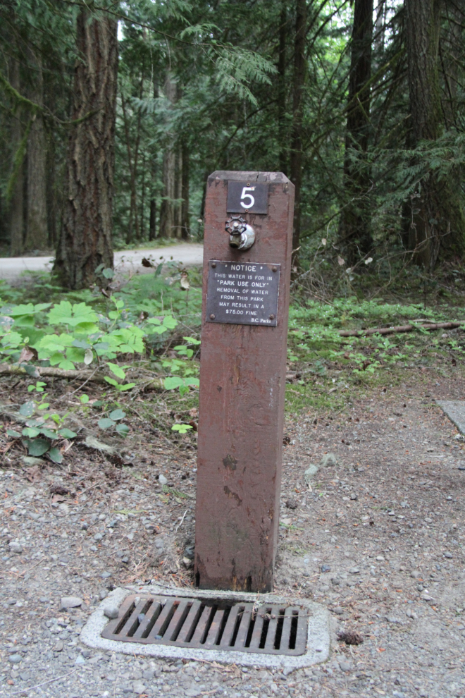
On a dog walk, that night, I noticed one of the signs that are on all of the water faucets: “Notice. This water is for park use only. Removal of water from this park may result in a $75.00 fine. BC Parks.” How odd…
I’ve been taking a lot of photos of oddly-shaped trees over the past few weeks. My guess is that a person or heavy snow bent the tree when it was young, but it was able to keep growing despite the injury.
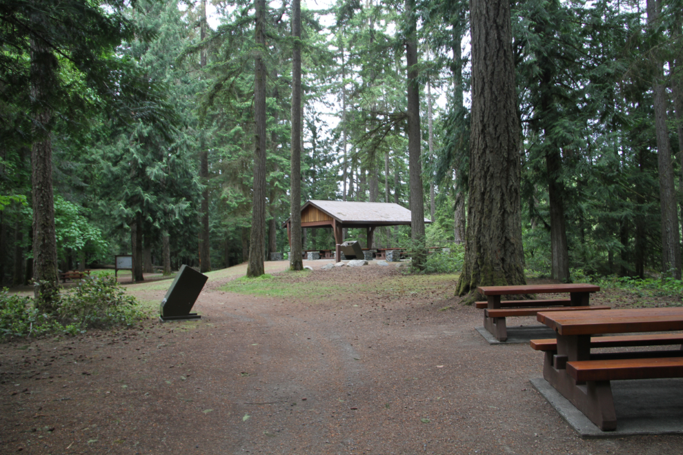
The next morning, the dogs and I went back to the falls for a last look before moving closer to the ferry. This is the day-use picnic shelter.
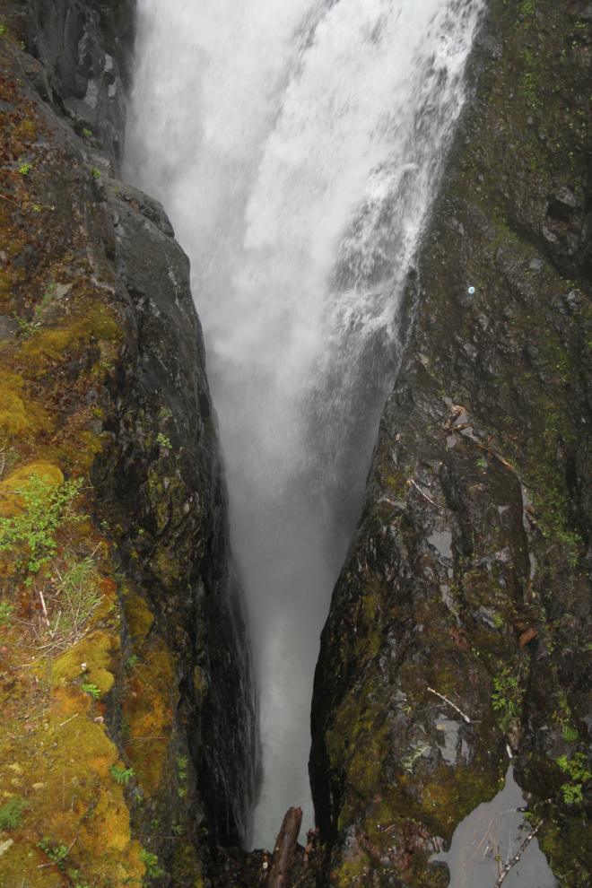
A final look into the slot. Englishman River Falls is certainly one of the finest karst-formation waterfalls that I’ve ever seen.
At 11:30, we began the drive towards Comox, where an air force museum was at the top of my list of places to see.
